GIS.Digital Home

Category

Location Intelligence

11 articles

Miles of Inequality: What Geospatial Data Reveals About Who Bears America's Longest Commutes

Miles of Inequality: What Geospatial Data Reveals About Who Bears America's Longest Commutes

Geospatial analysis of commute patterns across major American metropolitan areas is exposing a stark geographic truth: the workers who can least afford to lose time are often the ones spending the most of it on the road. By layering transit access, housing cost, and employment density data onto regional maps, researchers and city planners are uncovering spatial inequities that decades of transportation policy have failed to address.


Invisible Boundaries: How Geospatial Intelligence Is Mapping America's Rural Healthcare Crisis

Invisible Boundaries: How Geospatial Intelligence Is Mapping America's Rural Healthcare Crisis

Across vast stretches of rural America, millions of residents live beyond practical reach of basic medical care—a crisis that remained largely unmeasured until geospatial analysis began tracing its contours. By layering hospital locations, road networks, and demographic data, GIS platforms are producing a sobering portrait of healthcare geography that policy documents alone could never reveal. The findings are reshaping how public health agencies, hospital systems, and federal programs allocate

Paved Over: How Geospatial Soil Analysis Is Exposing the Hidden Price of America's Suburban Expansion

Paved Over: How Geospatial Soil Analysis Is Exposing the Hidden Price of America's Suburban Expansion

As America's metropolitan edges push steadily outward, geospatial mapping tools are beginning to quantify what planners have long underestimated — the permanent loss of the nation's most productive agricultural soils. From the Sun Belt's booming exurbs to the Midwest's shrinking farm counties, GIS-driven soil analysis is reframing urban growth as a food security issue, not merely a land-use one.

Fields to Freeways: How Satellite-Driven GIS Analysis Is Rewriting What We Know About Farmland Loss in America

Fields to Freeways: How Satellite-Driven GIS Analysis Is Rewriting What We Know About Farmland Loss in America

Advanced geospatial analysis and multitemporal satellite imagery are revealing that America's agricultural land is disappearing into urban development at a rate far exceeding what conventional surveys have ever captured. From the outer edges of Phoenix to the suburban corridors of the Mid-Atlantic, GIS professionals are documenting a land conversion crisis hiding in plain sight. The data is reshaping how planners, policymakers, and agricultural economists understand the true cost of urban sprawl

Fracture Lines: How Geospatial Analytics Is Exposing the Hidden Danger Beneath America's Bridges

Fracture Lines: How Geospatial Analytics Is Exposing the Hidden Danger Beneath America's Bridges

Across the United States, more than 617,000 bridges carry the weight of daily commerce and community life — yet thousands are deteriorating in silence. Geospatial technology is now giving transportation agencies an unprecedented ability to visualize structural risk before failure occurs, but the communities most vulnerable are often those least equipped to act on the data.

Beneath the Surface: How Geospatial Intelligence Is Exposing the Quiet Collapse of America's Groundwater Reserves

Beneath the Surface: How Geospatial Intelligence Is Exposing the Quiet Collapse of America's Groundwater Reserves

Across the Great Plains and the arid Southwest, aquifers that took millennia to fill are being drawn down in decades—and for much of that time, water managers had only fragmentary data to guide their decisions. GIS-driven analysis is now delivering the spatial clarity that policy frameworks have long lacked, mapping depletion patterns at a resolution that fundamentally changes how regulators, farmers, and municipalities understand risk. The implications for water security planning are profound a

Ahead of the Wave: How GIS Is Charting America's Climate Displacement Zones Before the Crisis Arrives

Ahead of the Wave: How GIS Is Charting America's Climate Displacement Zones Before the Crisis Arrives

Geospatial analysts are constructing detailed risk portraits of American communities facing climate-driven displacement—long before residents begin to leave. By layering water stress indices, wildfire probability corridors, and sea-level rise projections onto interactive maps, municipalities, insurers, and infrastructure planners are gaining a critical head start on one of the century's most consequential demographic shifts.

Mapping the Great Retreat: Geospatial Science Is Forecasting America's Next Population Shift

Mapping the Great Retreat: Geospatial Science Is Forecasting America's Next Population Shift

As climate pressures intensify across coastal and arid regions, geospatial data scientists are assembling sophisticated models that project where tens of millions of Americans may relocate over the next two decades. The convergence of climate risk data, demographic analytics, and location intelligence is producing forecasts that are reshaping how planners, developers, and policymakers think about the future of American cities. Understanding these migration corridors is no longer an academic exer

Buried and Forgotten: How Modern GIS Is Exposing America's Underground Infrastructure Emergency

Buried and Forgotten: How Modern GIS Is Exposing America's Underground Infrastructure Emergency

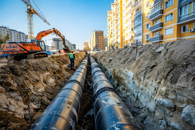
Across the United States, thousands of miles of water mains, gas lines, and sewer systems are operating well beyond their intended lifespans—largely invisible to the municipal teams responsible for maintaining them. Modern geospatial mapping tools are changing that equation, giving cities the location intelligence they need to act before disaster strikes rather than after.

From Reactive to Predictive: How Geospatial Intelligence Is Reshaping Supply Chain Resilience

From Reactive to Predictive: How Geospatial Intelligence Is Reshaping Supply Chain Resilience

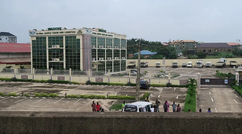
As global supply chains grow increasingly vulnerable to climate events, port congestion, and geopolitical shifts, a new generation of logistics professionals is turning to real-time GIS technology to stay ahead of disruptions. Location intelligence platforms are transforming how companies visualize risk, allocate resources, and build operational resilience across complex distribution networks.